Over Cautley Crag.
Start. Cross Keys (Cautley).
Route. Cross Keys - Cautley Spout - Cautley Crag - Great Dummacks - Lattera - Cautley Beck - Cross Keys.
Notes. I was up before day break, it looked like the sun would shine, I grabbed a bag, map and compass and headed to Cautley near Sedbergh, I hoped to catch the first rays of sunshine. This walk's been on the to do list for several years, with a few hours spare today would be the day. Plenty of people climb the steep path on the east bank of Cautley Spout en route to The Calf, but I wonder how many traverse Cautley Crags, would there be a path, I was about to find out.
From the Cross Keys a footbridge spans the River Rawthey, I cross this to head into the corrie, passing the remains of an Iron Age Settlement, I'm aiming for the broken cascade of Cautley Spout dominating the head of the valley. I made my ascent on the east bank on a good path until reaching a high valley, here I left the main path to traverse Cautley Crags. My views to the east had been fast disappearing, a bank of cloud was sweeping over the slopes of Baugh Fell, I was about to be swallowed up just at the point where I would have preferred to see where I was going. On a compass bearing I gingerly traversed Cautley Crags, there was a path, little used and sometimes very near the edge of the cliff, I kept on a southerly bearing until reaching the featureless summit of Great Dummacks (I hoped). My descent to the east was steep, it was quite daunting heading down the steep slopes of Great Dummacks (no path), I couldn't see a thing until I dropped beneath the cloud base. I descended between Pickering Gill and Hollow Gill until I reached the high boggy plateau of Lattera, at the northern edge of the plateau I gained access to a path that lead me down Pickering Gill safely to the valley floor.
A word of warning, if you descend Great Dummacks in my footsteps, make sure it's dry, especially avoid it under snow and ice unless you're well prepared, you could find your descent rather faster than you anticipated, take care and enjoy.

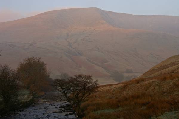
On the banks of the River Rawthey with views to the steep slopes of Great Dummacks.
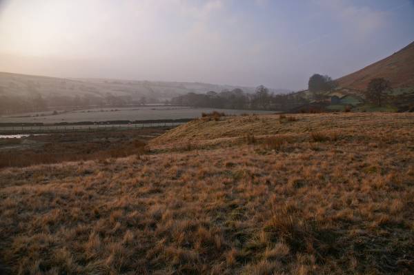
An early morning view across Rawthey Dale.
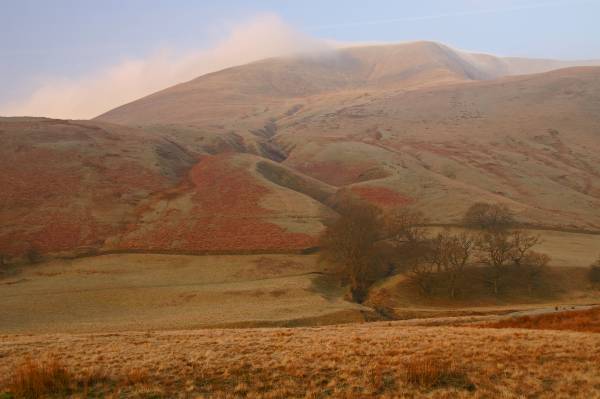
Looking to Great Dummacks with the high plateau of Lattera to the left.
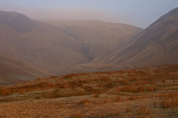
Dominating the head of the valley, Cautley Spout.
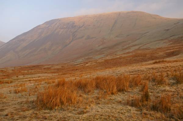
Rising from Cautley, Yarlside.
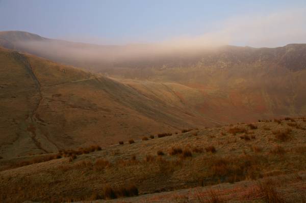
A finger of cloud takes the edge off the mile long ridge known as Cautley Crag.
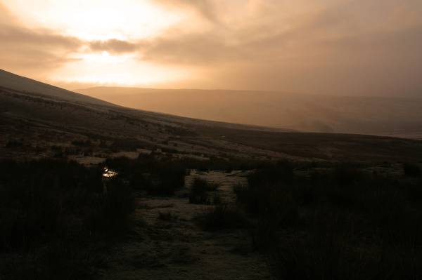
Early morning sun lights the distant slopes of Baugh Fell.
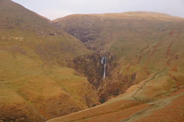
The waters of Red Gill Beck tumble 580ft in a broken cascade over the edge of Cautley Crag, this fall known as Cautley Spout is believed by many to be the highest waterfall above ground in England.
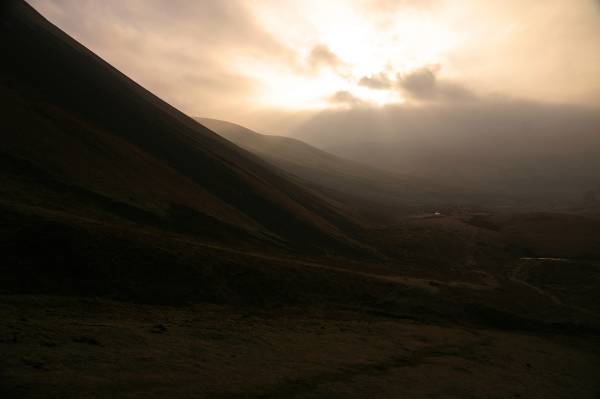
Ascending the lower slopes of Cautley Crag, a rather large bank of cloud can clearly be seen rolling over the summit of Baugh Fell.
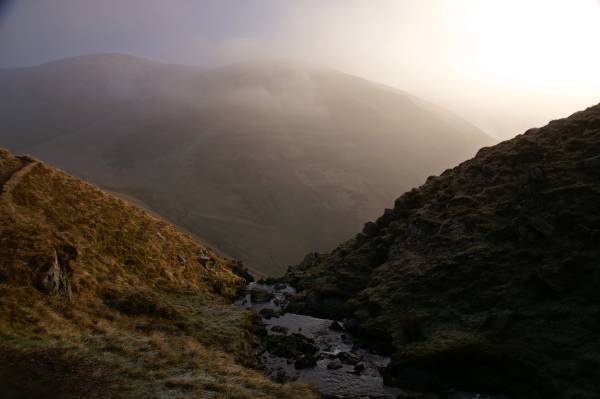
Yarlside from the top of Cautley Spout.
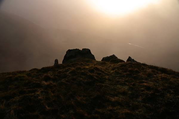
I'm about to be swallowed up by the cloud, the silver ribbon of the River Rawthey is just visible through the haze, as are the slopes of Yarlside to the left.
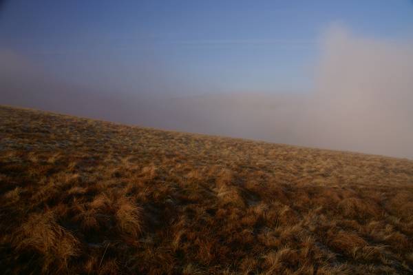
Above Cautley Crag with the summit of The Calf only just visible above the bank of cloud, if you squint you can just see it.
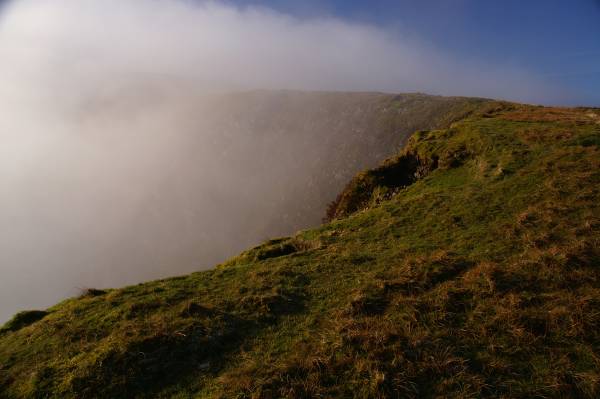
Cloud dances across the face of Cautley Crag.
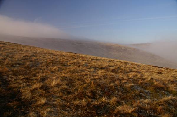
Across the high valley of Red Gill Beck, Grains, out of shot to the left under cloud The Calf.
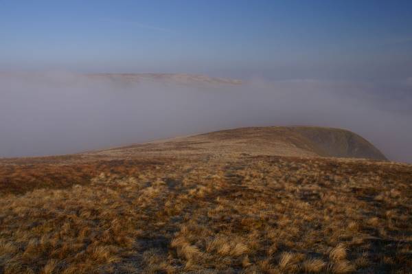
Above Cautley Crag looking north.
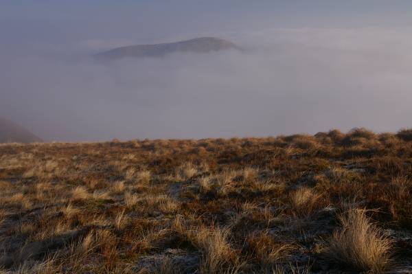
Rising above the cloud Yarlside.
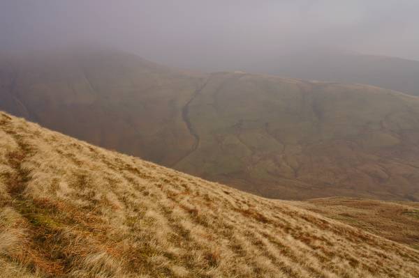
On the slopes of Great Dummacks looking to Ben End.
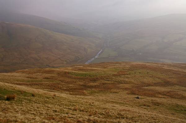
Descending to Lattera enjoying views up the Rawthey Valley.
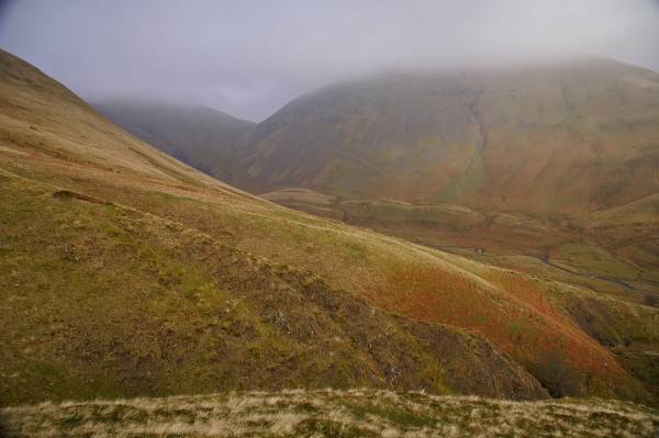
On the edge of the deep ravine cut by Pickering Gill views across Cautley to Yarlside.
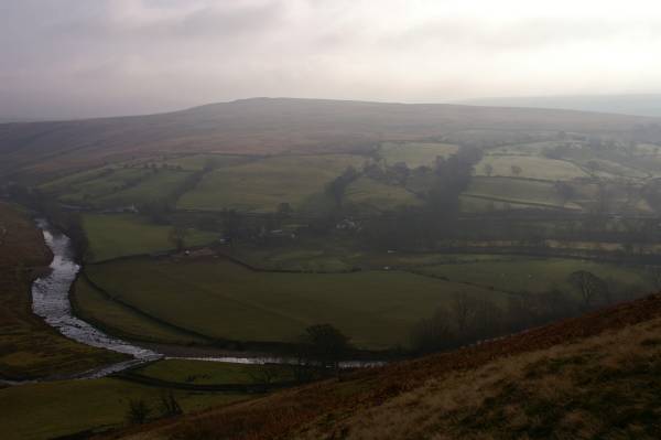
A change of colour, the green pastures of Rawthey Dale, the River Rawthey and Baugh Fell.